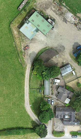
3d Drone Mapping Solutions
Discover the future of surveying with our 3d drone mapping services! Perfect for construction, agriculture, and real estate, our high-tech drones capture detailed data for accurate results. Whether you're monitoring progress or assessing land, our 3d drone mapping ensures precision and efficiency. Contact us today for expert drone mapping tailored to your needs.
3d Drone Mapping in Surveying: A Brief Overview
What is a Drone?
A drone, also known as an unmanned aerial vehicle (UAV), is a flying machine that operates without a human pilot on board. It's controlled remotely or autonomously, using a combination of sensors and software.
How Drones are Used in Surveying
Drones have revolutionized the surveying industry, offering several key advantages:
-
Efficiency: Drones can cover large areas quickly, gathering data in a fraction of the time it would take traditional surveying methods.
-
Accuracy: Equipped with high-resolution cameras and advanced sensors, drones can capture precise measurements and create detailed maps.
-
Safety: Drones can be used in hazardous or inaccessible areas, reducing risks to human surveyors.
-
Versatility: Drones can be used for various surveying tasks, including topographic mapping, volumetric calculations, construction monitoring, and disaster response.
How 3d Drone Mapping Surveying Works
-
Data Collection: A drone equipped with a camera or other sensors flies over the target area, capturing images or data points.
-
Processing: The captured data is processed using specialized software to create digital models, such as orthomosaics, digital surface models (DSMs), and 3D point clouds.
-
Analysis: The processed data can be analyzed to extract information, such as elevations, distances, areas, and volumes.
Applications of 3d Drone Mapping Surveying
-
Construction: Monitoring progress, measuring volumes, and creating as-built models.
-
Agriculture: Assessing crop health, measuring fields, and monitoring irrigation.
-
Environmental: Studying ecosystems, monitoring deforestation, and assessing natural disasters.
-
Infrastructure: Inspecting bridges, power lines, and pipelines.
-
Real Estate: Creating property assessments and virtual tours.
In conclusion, 3d drone mapping has become an indispensable tool for surveyors, offering unprecedented efficiency, accuracy, and versatility. As technology continues to advance, we can expect even more innovative applications of drones in the surveying field.

