
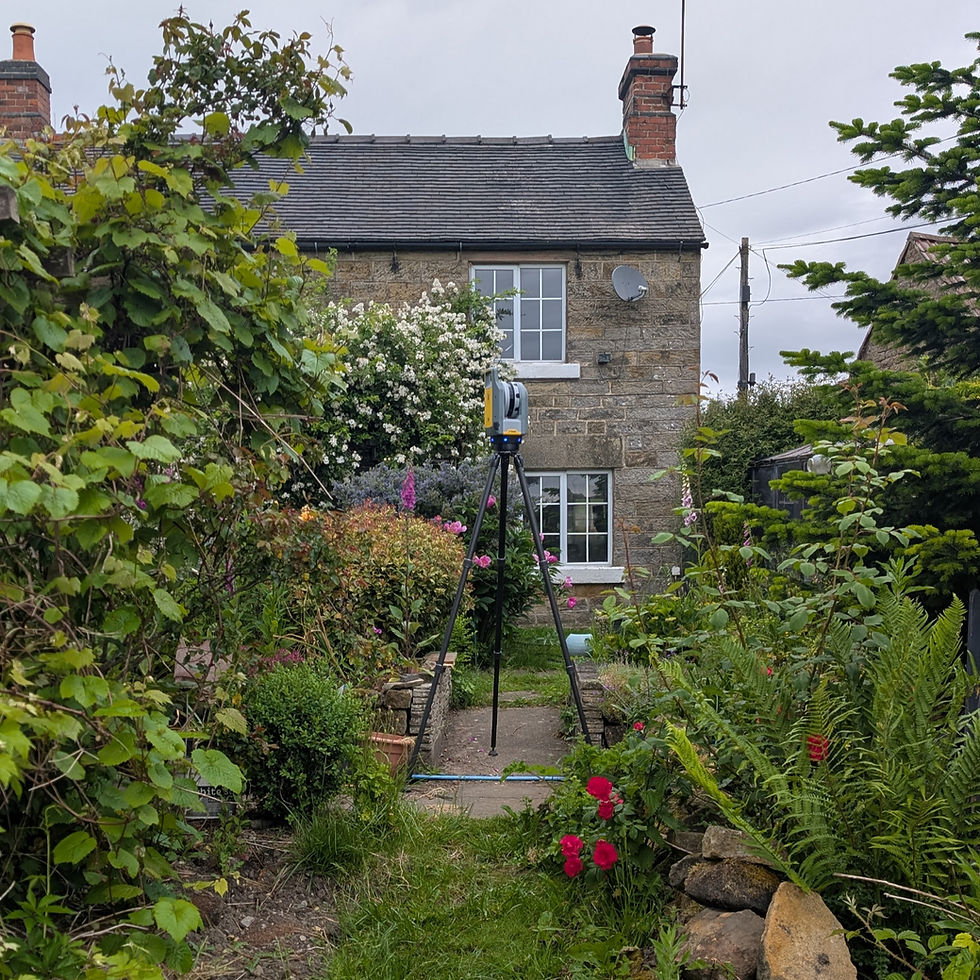
Topographical Surveys: Revolutionised by Drone Mapping
- Landtech Surveys

- Jun 11, 2025
- 4 min read
The advent of drone technology has significantly transformed the landscape of data collection. Drones, or unmanned aerial vehicles (UAVs), have opened up new avenues for professionals across various fields, from agriculture to urban planning. Aerial data collection using drones is not just a trend; it is the future. This blog post delves into the innovative uses of drones in data collection, their benefits, and where the technology is headed.
What is Aerial Data Collection?
Aerial data collection refers to the process of gathering information from above the ground, typically using aircraft or drones. Unlike traditional methods, drones provide high-resolution imagery and data much faster and for topographical surveys, often at a lower cost. For instance, farmers can gather high-quality aerial images of their fields to monitor crop health. According to a report by the Association for Unmanned Vehicle Systems International (AUVSI), the drone industry is expected to reach $82 billion by 2025, highlighting the increasing importance of aerial data.

Key Benefits for Landtech Surveys in using Drones
The benefits of drone technology in aerial data collection are numerous. Here are some key advantages:
1. Cost-Effectiveness
Drones eliminate the need for expensive manned flights or ground surveys, making the data collection process much more cost-efficient. For example, a survey of a large construction site that would typically require weeks of work can be completed in a matter of hours with a drone.
2. Enhanced Data Quality
Equipped with high-resolution cameras and sensors, drones take crisp and clear images, providing high-quality data. This precision enables businesses to make informed decisions based on accurate information. A study by DroneDeploy found that using drones can improve data accuracy by 20%-30%.
3. Speed of Data Collection
Drones can cover vast areas quickly, significantly reducing the time it takes to gather information. This speed is particularly beneficial during emergencies or situations where timely data is critical, such as natural disasters or search and rescue missions.
4. Safety
Using drones for data collection often enhances safety, especially in hazardous environments. By eliminating the need for personnel to enter dangerous areas, drones reduce the risk of accidents. For instance, inspections of oil and gas pipelines can be performed from a safe distance.

Applications of Drones in Aerial Data Collection
Various industries are leveraging drone technology for aerial data collection. Below are some notable applications:
1. Agriculture
Farmers are increasingly using drones for precision farming. Drones equipped with multispectral cameras can assess crop health, monitor water levels, and even apply fertilizers.
2. Construction
In construction, drones provide experts with real-time data for project management, site surveying, and progress monitoring. With the ability to create 3D models, drones can facilitate better planning and execution of construction tasks.
3. Environmental Monitoring
Drones play a crucial role in monitoring environmental changes. They are used to track deforestation, assess wildlife habitats, and monitor pollution levels. For example, researchers can deploy drones over sensitive ecosystems to collect valuable data without disturbing the environment.
4. Property
Drones offer stunning aerial imagery that can enhance property listings. Aerial footage provides potential buyers with a unique perspective, showcasing not just the property but also the surrounding area.
5. Insurance
Insurance companies utilise drones for property inspections following natural disasters. Drones can quickly assess damage while keeping the insurance adjusters safe, thereby streamlining the claims process.
Regulatory Challenges for Drone Usage
As the popularity of drones in aerial data collection increases, so do the regulatory challenges. Governments worldwide are developing guidelines to ensure the safe and responsible use of drones. These regulations vary from country to country and often include restrictions on altitude, flying over populated areas, and data privacy concerns.
For example, In the UK, flying drones for business generally requires registering your organization as an operator with the Civil Aviation Authority (CAA) and obtaining a Flyer ID if the drone weighs over 250g. Additionally, operations may require a General Visual Line of Sight (VLOS) Certificate (GVC) and an Operational Authorisation (OA) from the CAA depending on the risk level and type of operation.
The Future of Drones and Aerial Data Collection
The future of aerial data collection with drones looks promising. As technology continues to evolve, several trends are likely to shape the industry:
1. Improved Technology
Advancements in drone technology will lead to enhanced capabilities. Future drones are expected to have longer flight times, better sensors, and improved connectivity, allowing for real-time data sharing.
2. Increased Automation
With machine learning and artificial intelligence, drones may become more autonomous in data collection. This capability will reduce the need for human operators, making data collection even more efficient.
3. Integration of 3D Drone Mapping
Incorporating technologies will enhance the ability to create accurate topographical maps. This new level of precision will be invaluable for industries like construction, forestry, and urban planning.
4. Greater Collaboration
The future may also see greater collaboration between various sectors and organisations in the use of drone data. For instance, public and private entities could team up to share valuable aerial data for community planning and development.

Embracing the Aerial Data Revolution for Topographical Surveys
Aerial data collection using drones is not just a passing phase; it represents a monumental shift in how we gather and analyse information. With their cost-effectiveness, enhanced data quality, and various applications across different sectors, drones are becoming indispensable. As technology advances and regulations evolve, the potential for drones in aerial data collection will only continue to grow.
In essence, Landtech Surveys' use of drone technology allows them to offer more efficient, safer, and highly accurate topographical surveying solutions, meeting the demands of modern construction, property development, and other land-related projects in the UK.
The future is here, and it is soaring high above us.


Comments